

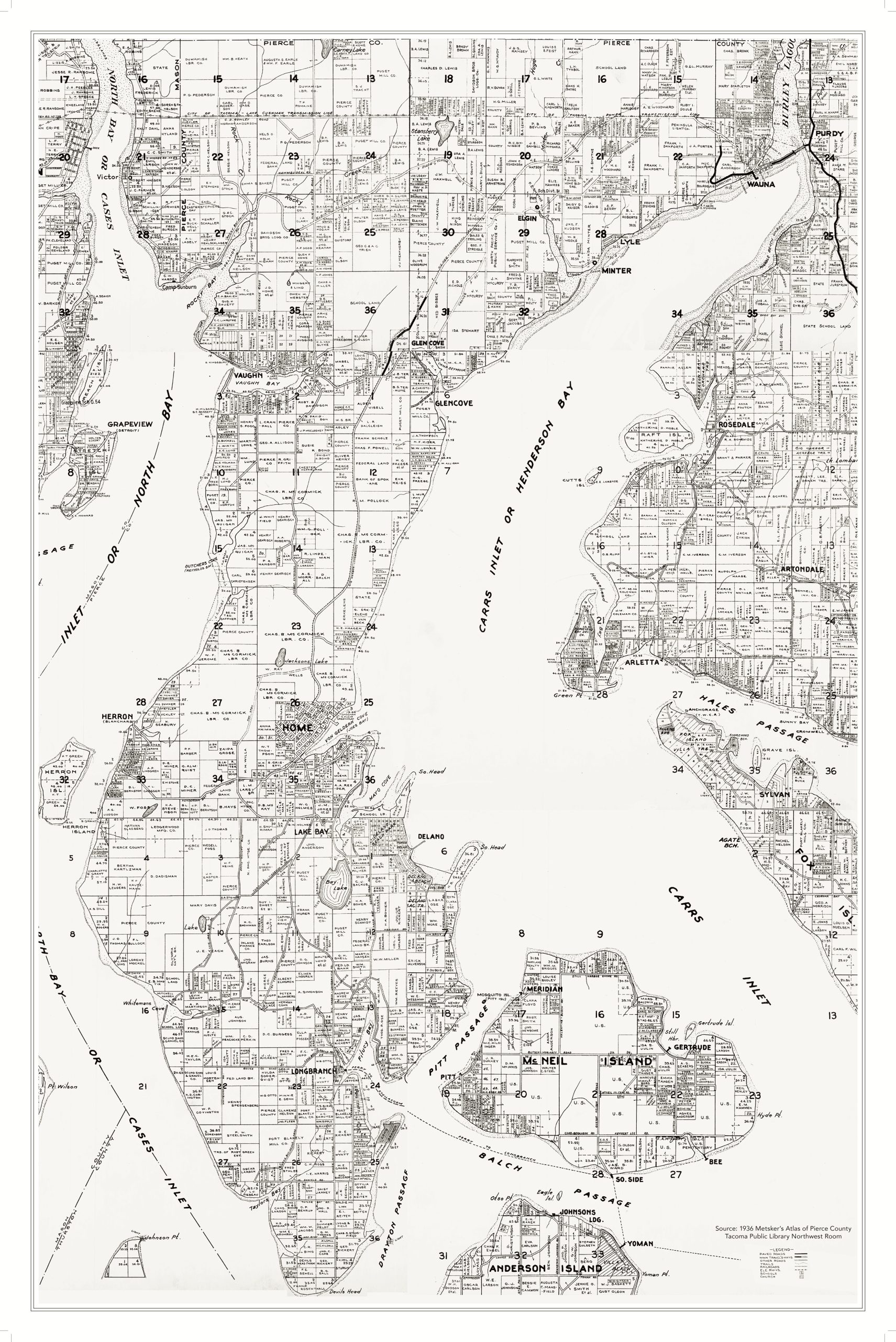
We created the composite maps below by collating individual township maps for the Key Peninsula.
-
The township maps from 1889 to 1951 were scanned for us by the Tacoma Public Library Northwest Room from originals in their collection. Those maps were based on county data and, as with all maps before the digital age, some of that data may have been obsolete by the time the maps were published. Still, they allow us to trace the evolution of the Key Peninsula and its roads over time.
-
The 1966 and 1988 maps were obtained from the Pierce County Office of Planning & Public Works.
-
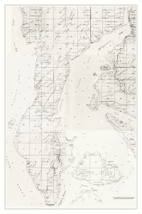
- 1889 Plummer Atlas of Pierce County (detail)

-
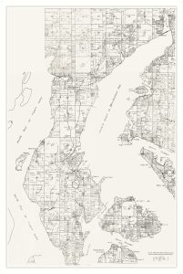
- 1915 Kroll Township Atlas of Pierce County (detail)

-

- 1924 Metsker Township Atlas of Pierce County (detail)

-

- 1928 White’s Atlas of Pierce County (detail)
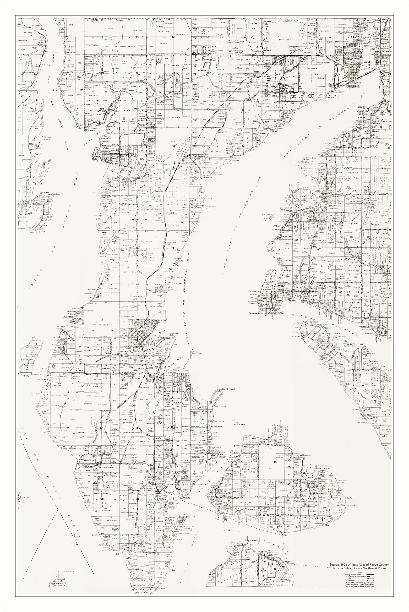
-
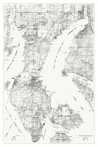
- 1930 Metsker Township Atlas of Pierce County (detail)

-

- 1936 Metsker’s Township Atlas of Pierce County (detail)
-
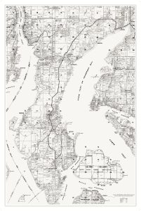
- 1941 Metsker Township Atlas of Pierce County (detail)

-
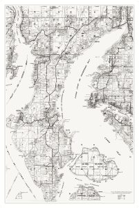
- 1951 Metsker Township Atlas of Pierce County (detail)

-

- 1966 Pierce County (detail)

-

- 1988 Pierce County (detail)
